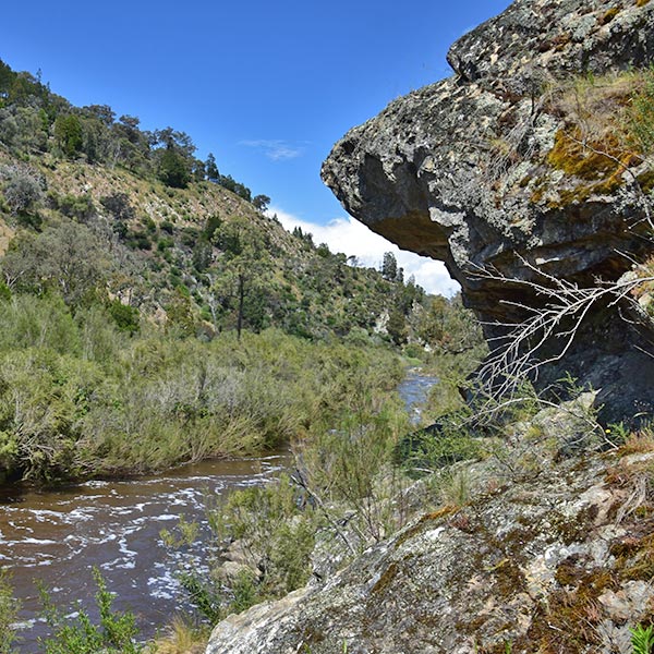
Molonglo Gorge Nature Reserve is a 506-hectare protected area covering a 16 km stretch of the Molonglo River. The reserve extends downstream from the ACT border near the Burbong Railway Bridge, almost to the Yass Road bridge just north of Queanbeyan.
The reserve is part of a significant regional wildlife corridor that follows the geologically uplifted land along the Queanbeyan Fault Scarp. It connects woodland and open forest in the vicinity of Googong Dam with woodlands in the north of the ACT and surrounding NSW, and linking to the Southern Flyway – a connection of woodland vegetation across the ACT and southern slopes and central west of NSW.
Molonglo Gorge, the major feature of the reserve, is several kilometres long with cliffs up to 60 m in height, rising to a heavily forested, dissected plateau. The Molonglo River flows through a series of cascades and deep pools within the gorge.
The Molonglo Gorge recreation area, at the western end of the gorge, is popular for picnics and barbecues. From here a walking track follows the river upstream for about 3 km to the Blue Tiles picnic area.
Cycling is permitted on roads and management trails only.
Dogs are permitted on-leash on a track or trail only.
Horses are not allowed.


